Keynote Speakers

As a student-led effort, Geomundus will feature a broad landscape of expertise and areas of action within the GIS field, such as academic figures, NGO advisors, government officials, and private sector actors. We understand that climate action seen through a GIS lens requires a wide array of perspectives that enrich discussions and ignite our curiosity. These insights will ultimately become the foundations of our professional practice. Information about the keynote speakers and the keynote topics will be updated soon!
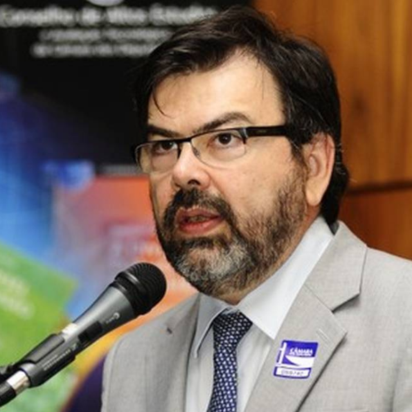
Prof. Dr. Gilberto Câmara

PROF. DR. GILBERTO CAMARA

Prof. Dr. Gilberto Câmara is a Brazilian researcher in Geoinformatics, GIScience, Spatial Analysis, and Land Use Modelling, who works at Brazil's National Institute for Space Research (INPE). He is internationally recognized for promoting free access for geospatial data and for setting up an efficient satellite monitoring of the Brazilian Amazon rainforest. After retiring from INPE in June 2016 after 35 years of work, he continues to conduct R&D activities at INPE as a Senior Research Fellow.

KEYNOTE:

“Open Source Geospatial Software: The first 40 years and beyond”

The launch of GRASS GIS in 1984 marked the beginning of open-source geospatial software. After four decades, this talk highlights major progress in the field and provides a vision of upcoming trends. FOSS4G developers need to find a middle ground between standardisation and innovation. Whether de facto or de jure, standards establish a solid foundation for shared use and collaboration. Solid theory serves as the basis for successful standards. OGC’s Simple Features, using DE-9IM, has influenced the success of PostGIS, sf in R, and GeoPandas in Python. The backbone of GDAL includes standards like GeoTIFF and JPEG 2000. Thanks to these standards, commercial and institutional users have widely adopted tools like PostGIS, GDAL, and R-sf.

As a result of this virtuous cycle, vector-based FOSS4G is now in stasis. On the other hand, raster-based GIS is overflowing with innovation. Petabytes of open Earth observation (EO) data are now available. The exploration of space-borne sensors leads to significant innovation. However, no established theory exists for modelling and analysing big EO data. This situation has led to largely incompatible developments, including GeoPandas, Open Data Cube, OpenEO, and R-sits. Collaboration is necessary among developers of FOSS for big EO data analytics to avoid a winner-takes-all competition. This talk will conclude with an example of cooperation between the OpenEO and R-sits systems.
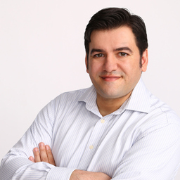
Pablo Viejo

PABLO VIEJO

Pablo Viejo is an experienced digital solutions developer within the information technologies industry. His work extends to domains such as Sustainable Development, Sustainable Cities, with consistent track record on innovation and entrepreneurship. A skilled programer, with strong specialisation on geo-spatial technologies, 3D, modelling and simulation of complex systems. He is part of the Young Leaders of the World Cities Summit.

KEYNOTE:

"The Future of AI-GIS: Challenges and Opportunities"

AI is rapidly transforming Geographic Information Systems (GIS), offering new ways to automate data processing, enhance spatial analysis, and create dynamic visualizations. This integration holds immense potential, enabling faster and more accurate decision-making across sectors like urban planning and disaster management.

However, challenges such as data quality, ethical concerns around privacy, and the expertise gap in AI-related skills must be addressed. Additionally, the computational demands of AI models pose significant barriers. Despite these obstacles, the future of AI in GIS promises to revolutionize how we interact with geospatial data, unlocking new opportunities for innovation.
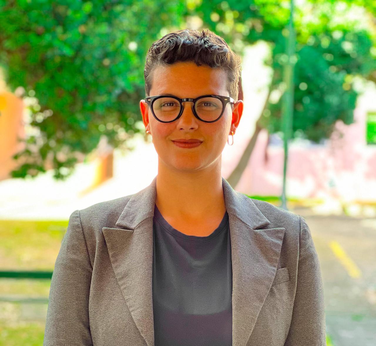
Rafaela Tiengo

RAFAELA TIENGO

Rafaela Tiengo is a Brazilian geographer specializing in remote sensing. She earned an MSc in Remote Sensing for Volcanology from the University of the Azores, where she developed expertise in using geospatial technologies and SAR data for volcanic scenarios in islands. She is currently pursuing a PhD in Engineering and Management of the Natural Environment at the Polytechnic University of Madrid. Her research focuses on detecting land use and land cover changes in small oceanic islands, employing remote sensing techniques to assess environmental impacts and inform conservation efforts.

KEYNOTE:

"Monitoring Conservation Projects: Integrating Google Earth Engine, Google Colab and Python"

The use of advanced technologies, particularly Google Earth Engine, Google Colab, and Python, offers significant potential for monitoring and analyzing land cover changes in conservation projects. Focusing on São Miguel Island in the Azores, it discusses the application of these tools to identify the impacts and successes of conservation interventions.

The talk will demonstrate how the integration of remote sensing data enhances near-real-time monitoring capabilities, providing valuable insights into the land cover impacts and intervention outcomes of projects supported by the LIFE Nature Programme.
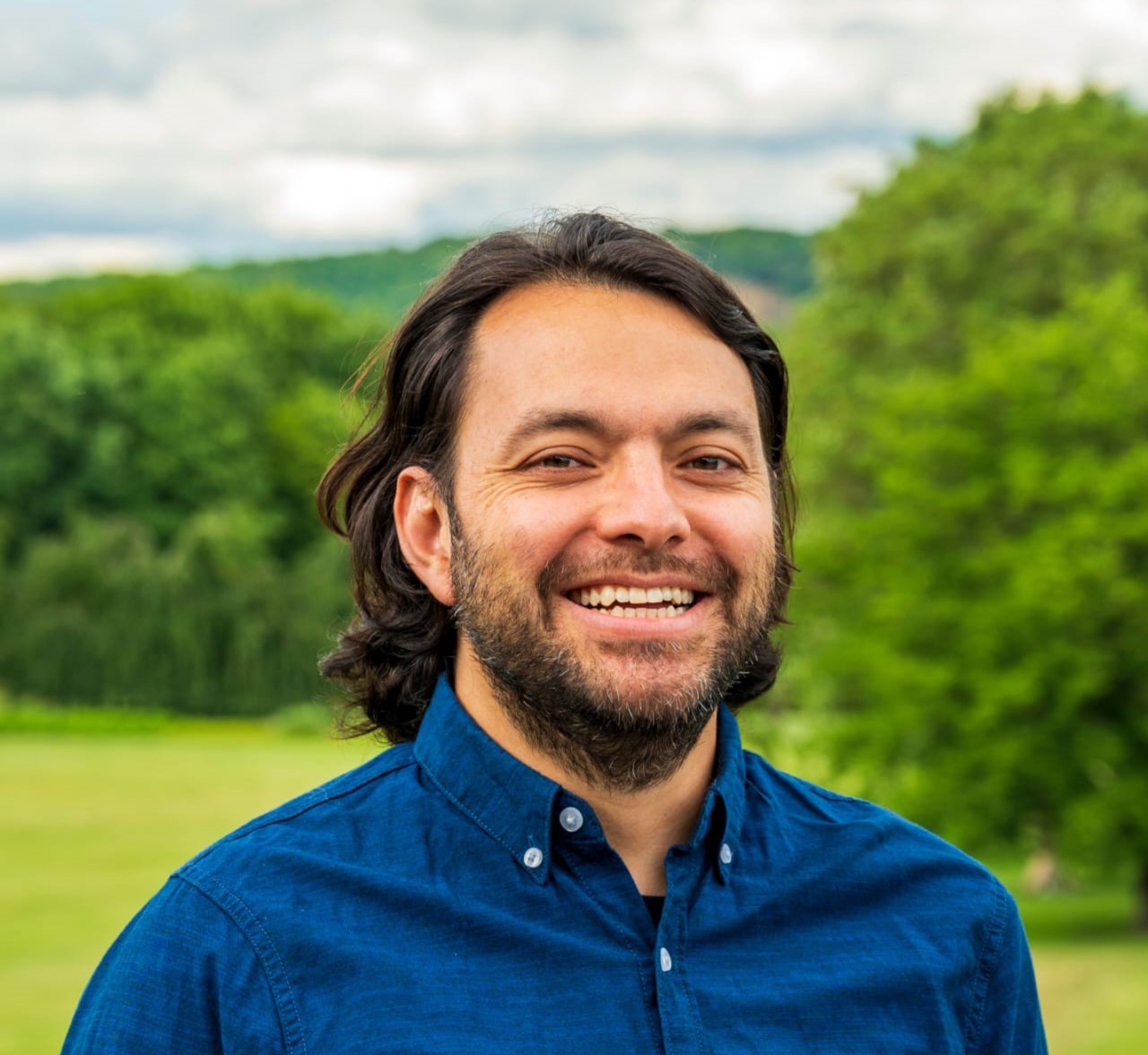
Andres Felipe Ramirez

ANDRES FELIPE RAMIREZ

Andres Felipe Ramirez is a Geospatial Information Manager with over 10 years of experience in international non-profits, currently bringing expertise to the German Agency for International Cooperation (GIZ). He has dedicated much of his career to integrate geospatial technologies into organizational operations. Deeply passionate about Remote Sensing and Automated GIS, and leveraging these technologies to turn raw data into rich, spatial insights going beyond traditional Excel sheets. Proficient in advanced geospatial processing with tools like Esri, QGIS, Earth Engine, and R, he is a strong strategist in raising awareness and designing and deploying sustainable geospatial systems.

KEYNOTE:

"Geospatial Technologies in the context of International Organizations, NGOs, and Development Cooperation"

International organizations, NGOs, and Development Cooperation frameworks are important allies for countries challenging political or social environments. Local governments depend on these organizations for financial support and policy validation, while the commodity industry relies on NGO certifications to validate their sustainability claims. This dual role scenario presents a unique challenge: a high demand along with the need for a fast response.Geospatial Technologies play a key role in the technological landscape of organizations adopting a data-driven decision-making approach. Their impact spans a wide range of activities, including project planning, monitoring and evaluation, impact assessment, and compliance checks, proving a cost-effective tool.

This session will provide an overview of how geospatial technologies enhance decision-making, policy development, and project implementation across diverse global contexts. Participants will gain insights into practical applications of geospatial data and tools in addressing humanitarian crises, sustainable development, and managing resources effectively. Additionally, current trends, challenges, and future opportunities in this dynamic field, particularly within this specific context, will be discussed.
Workshop Leaders

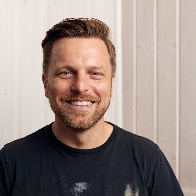
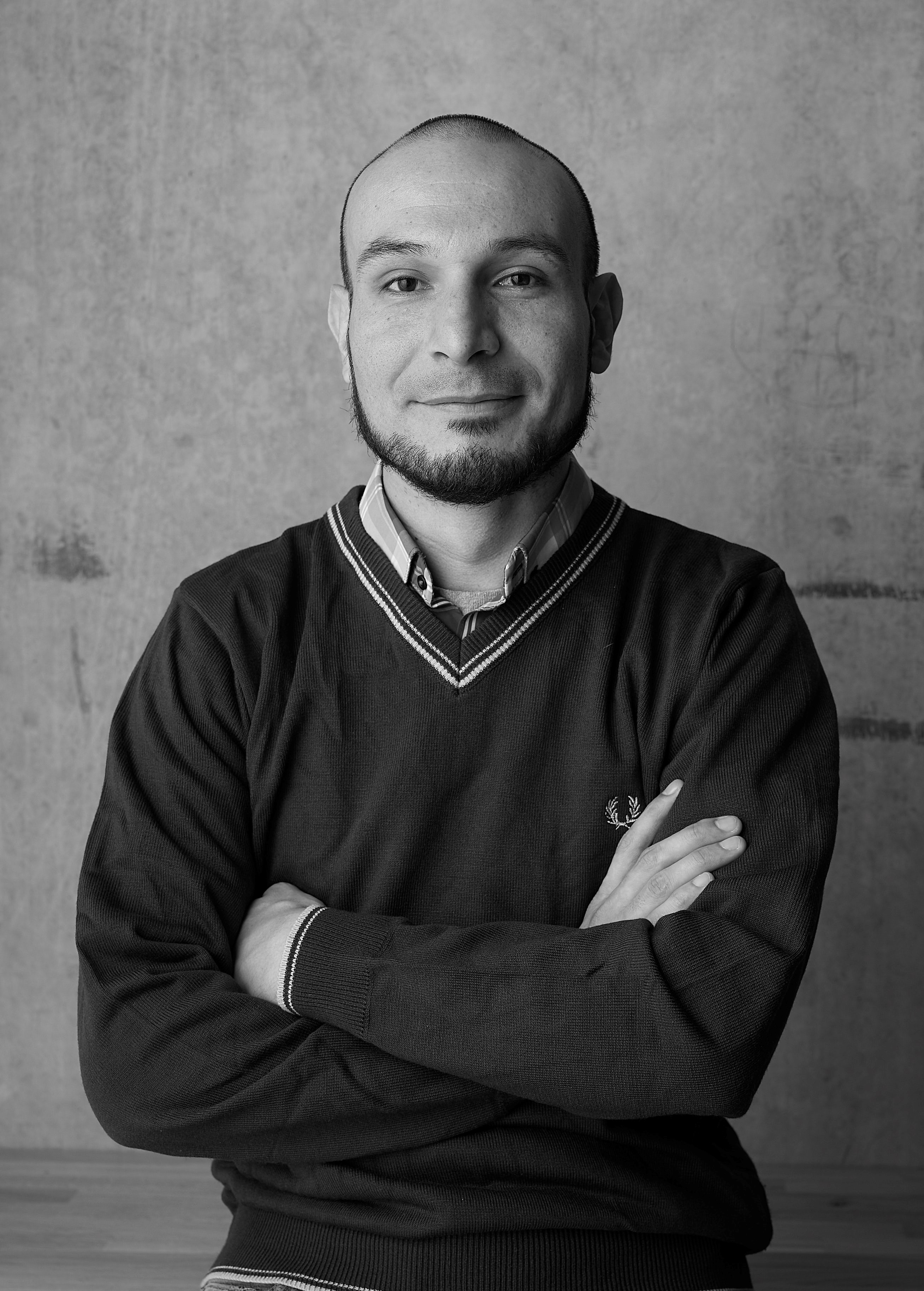
The Workshop Session has long been a vital component of the Geomundus conference, and this year's edition is anticipated to be truly remarkable. This year, we have on board: Dr. Thomas Bartoschek; Nicolas Luna; Ammar Yousaf; Bernardo Trovão; Ayomide Oraegbu; Rebeca Nunes; Emmanuel Jolaiya. There is more to learn and know about the expertise of our workshop leaders and the interesting topics, please check the workshop page to learn more. To receive the latest updates on the workshop sessions at GeoMundus 2024, make sure to check the program schedule and follow us on social media.

Meet Our Workshop Leaders!

Dr. Thomas Bartoschek

Workshop: “senseBox:bike Citizen science mechanisms applied to mobility”

The workshop will focus on the research initiative aimed at transforming urban planning by involving citizens, companies, and local governments in the systematic collection and analysis of bicycle infrastructure data. Central to the workshp’s objectives is the integration of hardware technology derived from the open-source senseBox:bike project, seamlessly connected to a dedicated app and web-based analysis platform. This infrastructure facilitates the effortless gathering of crucial data during cyclists' daily commutes and offers insights into parameters such as distance to car traffic, vibration levels, temperature fluctuations, and fine dust concentrations. These insights are invaluable to various stakeholders, providing a comprehensive understanding of the urban cycling experience.


Dr. Thomas Bartoschek studied and obtained his doctorate in geoinformatics and set up the GI School student and research laboratory at the University of Münster, in which new technologies in the context of digital education such as openSenseMap are developed and researched. Part-time scientist and part-time social entrepreneur researching and developing projects, technologies and products for digital education, spatial learning and citizen science.


Nicolas Luna

Workshop: “Vegetation Indexes Extraction by using Sentinel Hub API”

This workshop will provide a comprehensive guide to extracting vegetation indexes using the Sentinel Hub API. Participants will start by learning how to access satellite imagery through the API and configure custom scripts for index calculation. The workshop will cover key vegetation indexes such as NDVI, GCI, and SAVI, demonstrating how to automate their extraction across different time periods and geographic locations. Attendees will also learn techniques for batch processing large datasets and visualizing vegetation trends over time. Sentinel Hub API is a powerful cloud-based platform that provides seamless access to Copernicus Sentinel satellite data, enabling users to retrieve and analyze multispectral imagery efficiently. With advanced capabilities for custom scripting and on-demand data processing, Sentinel Hub is an useful tool for monitoring vegetation health, tracking agricultural progress, and studying environmental changes globally.
This workshop is designed for researchers, environmental scientists, data analysts, GIS specialists, and developers interested in vegetation monitoring and remote sensing using the Sentinel Hub API. It is also ideal for educators and students in environmental science, agronomy, and geography.


Participants should have a basic understanding of geospatial concepts and some experience with programming (Python) to fully benefit from the workshop content. Familiarity with satellite imagery and vegetation indexes will be advantageous.


Nicolas Luna Nicolas Luna professional background involves the execution of technological projects on Geosciences and the management of field capture data, with practical knowledge on how to run processes about structuring, automation, evaluating, and mapping of environmental information using commercial and open-source software.
He was the holder of a DAAD scholarship holder for the Master in Photogrammetry and Geoinformatics at the Hochschule für Technik Stuttgart, Germany, where we worked on the Estimation of Telluric movements around the Galeras volcano (Colombia) Using Sentinel-1 images and Differential Interferometry techniques. Some of his academic work deals with the implementation and assessment of temperature change due to volcanic eruptions using Google Earth Engine, published in the Revista Ibérica de Sistemas e Tecnologias de Informação (RISTI) in March 2021.
His work with ESRI Colombia for 3 years, provide the experience on different concepts about all ESRI platform including ArcGIS for Desktop, Server (Enterprise), Image Server, Online, and mobile.


Ammar Yousaf Bernardo Trovão

Workshop: “Deploying a geographic information systems application”

The workshop will guide the assistance about the steps of deploying a geographical application using three skills:

  • Geospatial Database management through Postgres and its QGIS integration
  • Servers for Hosting GIS Data using Geoserver
  • Frontend deployment (Leaflet, JavaScript, HTML, CSS)
The workshop is aimed at students and professionals with a beginner to medium programming-oriented background on Python, they will be provided with an already working application using geodata where the assistance will tweak and change parameters to understand the workflow and pipeline.


Ammar Yousaf holds a bachelor’s degree in GIS Engineering. With two years of professional experience as a Geographic Information Systems (GIS) Developer. Throughout this time he has developed a strong expertise in web GIS development, working extensively with various mapping libraries, including Cesium, Mapbox, Leaflet, and MapLibre along with different programming languages such as python, JavaScript and PHP.
Currently, Ammar Yousaf is pursuing a master’s degree in Geospatial Technologies. His work involves creating interactive and dynamic web maps that aid in spatial analysis and decision-making processes. His passion for geospatial technology drives him to continuously learn and apply innovative solutions to real-world problems.


Bernardo Trovão holds a bachelor’s degree in environmental engineering from the Pontifical Catholic University of Rio de Janeiro (PUC-Rio) and a Postgraduate degree in Recovery of Degraded Areas from the Federal University of Viçosa (UFV), Brazil. He has been a public servant since 2009, working as an Environmental Analyst for the Brazilian Ministry of Environment, holding several key positions, including Coordinator at the Brazilian Forest Service, where he was responsible for implementing the Environmental Rural Register (CAR). Worked as an Advisor at the Brazilian Management and Operational Center of the Amazonian Protection System (CENSIPAM), performing integrated analyses to support actions against illicit activities and other policies related to the Legal Amazon, and, as an Advisor at the Brazilian National Institute for Colonization and Agrarian Reform (Incra), where he produced territorial information through integrated analyses to support planning, monitoring, and the generation of territorial intelligence.
Currently, he is with the Brazilian Ministry of Agrarian Development, responsible for generating territorial information by integrating geospatial and various cadastre data. He is a Master’s student in the Geospatial Technologies program at the University of Münster (UM) and Universidade Nova de Lisboa (UNL). With over 10 years of experience, his primary tool for data integration and analysis is Postgres/PostGIS.


Ayomide Oraegbu

Workshop: “Air quality Prediction using Sentinel 5P and machine learning techniques”

Air pollution is the world’s largest environmental health risk, contributing to 7 million premature deaths globally each year, and poor people in developing countries are the most heavily affected. Low-cost IoT sensor networks on the ground have the potential to close the climate data gaps in sub-Saharan Africa, but networks are expensive to implement and maintain in African cities. Satellite-derived PM2.5 estimates based on Aerosol Optical Depth (AOD) and machine learning techniques can be used to estimate pollution levels over large areas to help develop interventions such as vulnerability risk profiles for urban spaces, health preservation and environmental protection for affected populations, as well as community empowerment, and climate change mitigation.
This workshop is designed for researchers, practitioners, and climate change enthusiasts who have some knowledge of remote sensing data and/or machine learning.


Ayomide Oraegbu holds a Bachelor’s degree in Remote Sensing and GIS from the Federal University of Technology, Akure, Nigeria. He is a certified 365 Data Scientist, who has worked with various organizations as a Data Scientist. His skills and expertise include machine learning, deep learning, and software development. He has contributed to several projects, one of which involved developing an innovative model for predicting Soil Organic Carbon (SOC) density in space and time. This model was presented at the European Space Agency symposium on Earth Observation for Soil Protection and Restoration. In addition to his professional background, he is passionate about applying his knowledge in data science to solve earth science-related problems. Currently, Ayomide is an MSc student in Geospatial Technologies at the Universitat Jaume I (Spain) and the University of Münster (Germany).


Rebeca Nunes

Workshop: “Clean Code: how to write better functions.”

The workshop will cover relevant principles from the "Clean Code" book, including how to write better functions, why and when to comment on your code, and the importance of abstractions. Clean Code is a reference book in software engineering with guidelines to write code that will work and keep working in the future: a source code that all can understand, collaborate, and review.
In the first half of the workshop, we will introduce the Clean Codes Principles. In the second half, we will analyze a toy example of a GIS application. The toy example will be a web app that displays a comparison between two point clouds. The goal is to clean the code by applying the principles that will be presented.


Audience: It is good to have basic knowledge of JavaScript, or any other programming language. Important to bring a laptop.


Rebeca Nunes holds a Bachelor's degree in Computer Engineering from the Federal University of Amazonas, Brazil. She has worked for five years as a software engineer in various industries. Rebeca began her career with embedded systems, working on industrial automation systems and developing firmware for Samsung SmartTVs. She also contributed to the development and maintenance of the Android OS for Motorola devices. Later, she transitioned to developing desktop applications in the fields of Robotics and Seismology.
As a language-agnostic programmer, Rebeca has learned and continues to learn different programming languages, including C++, Java, and JavaScript. Throughout her diverse experiences, she values good programming practices and enjoys the thrill of solving challenges.
Currently, Rebeca is pursuing an MSc in Geospatial Technologies exploring new dimensions of software development.


Emmanuel Jolaiya

Workshop: “Developing an Air Quality Monitoring Dashboard with React, TypeScript, Tailwind CSS, and MapLibre GL JS”

Dashboard development is becoming increasingly important. Decision-makers often interact more effectively with dashboards compared to static maps. Dashboards can convey information more quickly and interactively, providing intelligent insights. For example, how many people are affected by poor air quality yearly in your country? Which areas have lower coverage of monitoring stations? These questions and many more can be answered with a dashboard. More importantly, dashboards can be updated more frequently and in real-time compared to static maps. Additionally, acquiring skills in development is critical for job security, especially as more organizations demand GIS professionals with programming experiences. If you're someone who wants to gain technical skills and create products that can enhance your portfolio, then this workshop is for you. In this workshop, we will develop an Air Quality Monitoring Dashboard from scratch using MapLibre GL JS, JavaScript/TypeScript, and other open-source libraries. We will explore how to connect real-time data sources to provide real-time air quality monitoring. We will also add interactivity and summary statistics, integrating beautiful charts and metrics to drive decision-making. Finally, the concept that will be learned in this workshop will be adaptable to developing dashboards for other climate change metrics, or other WebGIS development tasks in general.

Workshop Goals: To ensure you understand how these technologies and framework works such that you can know how and where to start the next time you have a similar project. To ensure that you deploy your version of air quality dashboard for your city of interest so you can put it on your portfolio.

Workshop Outline:
First Hour: Introduction to HTML, CSS, JavaScript, React, and Tailwind CSS. Overview of industry-standard web (gis) frameworks and styling libraries.

Second Hour: Development of the dashboard.-- Focus on connecting to the data source, displaying it on the map, performing basic computations and statistics. Deployment of the application on a free hosting site like Vercel.


Audience: GIS People/Enthusiasts. (Open to everyone. Beginner, intermediate or advanced knowledge of Javascript). Requirements: Laptop


Emmanuel Jolaiya is an earth observation and geospatial software engineer with a background in remote sensing and GIS. He is currently pursuing a Master’s program in Geospatial Technologies, a collaborative effort between the University of Jaume I (UJI) in Spain and the University of Münster in Germany, funded by the prestigious Erasmus Mundus Scholarship. As a young innovator with a keen interest in solving problems, Emmanuel is building Spatialnode, a platform where geospatial professionals can showcase their work and discover opportunities. His current interests include Geospatial Algorithms, Data Quality, Spatial SQL, GeoPython, and WebGIS